


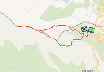

11.2 km | 22 km-effort

User GUIDE


FREE GPS app for hiking
 SityTrail
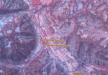
IGN / Geographical institutes
SityTrail World
The world is yours!
Trail Walking of 4.3 km to be discovered at Provence-Alpes-Côte d'Azur, Hautes-Alpes, Le Monêtier-les-Bains. This trail is proposed by amiral13.
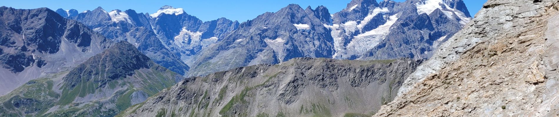
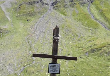
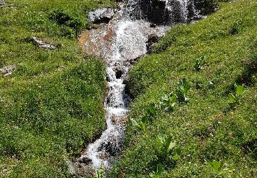
Randonnée effectuée le 16 juillet 2022.
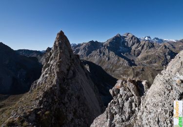
le sentier en crête comporte un petit passage scabreux. attention si vous avez des enfants avec vous.


Walking

Walking
Walking

Walking

Walking
Walking

Via ferrata
Walking
Walking